
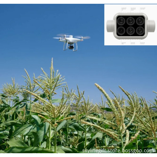
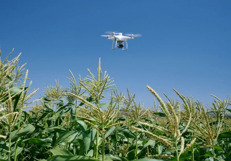
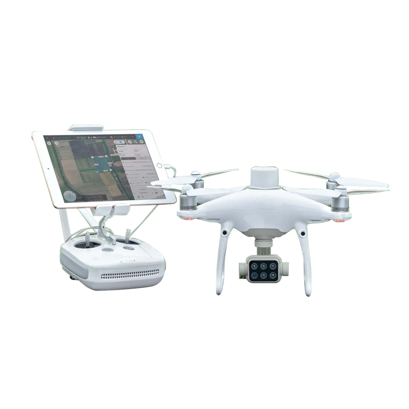
DJI P4 Multispectral mapping drone for Precision agriculture AND Environmental monitoring and inspection
- Min. Order:
- 1 set
- Min. Order:
- 1 set
- Port:
- Shenzhen
Your message must be between 20 to 2000 characters
Contact Now| Supply Ability: | 50 Piece/Pieces per Month |
|---|---|
| Payment Type: | Western Union,D/P,D/A,T/T |
| Port: | Shenzhen |
DJI P4 Multispectral mapping drone for Precision agriculture AND Environmental monitoring and inspection
Contact me freely if you need this drone and parts
Tel: +86 755 36887751
Cell phone: +86 18665315708
What'sapp: +86 18665315708
Wechat: +86 18665315708
Skype: rita_xian

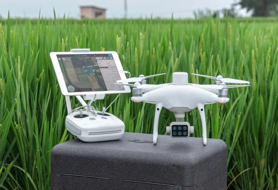
D-RTK 2 Mobile Station and NTRIP Compatibility
Enhance the accuracy of RTK positioning without internet connection by connecting the P4 Multispectral to the D-RTK 2 High Precision GNSS Mobile Station and NTRIP (Network Transport of RTCM via Internet Protocol)2, or store the satellite observation data to be used for Post Processed Kinematics (PPK).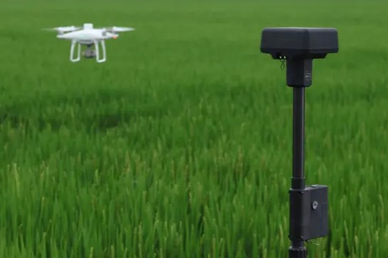
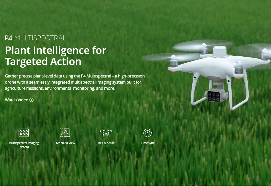
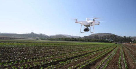
The P4 Multispectral consolidates the process of capturing data that gives insight into crop health and vegetation management. DJI has created this platform with the same powerful performance standards that DJI is known for, including 27 minutes max flight time and up to 7 km1 transmission range with the OcuSync system.
Product Name
Phantom 4 Multispectral UVA
Function
Agriculture Missions,Environmental Monitoring, etc.
Built-in Battery
6000 mAh LiPo 2S
MAX image Size
1600×1300 (4:3.25)
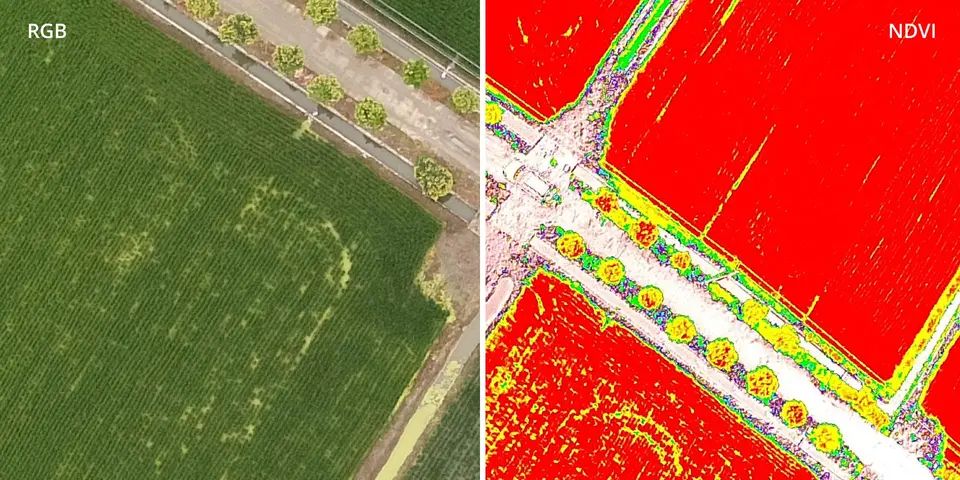
Meaningful Data at Your Disposal
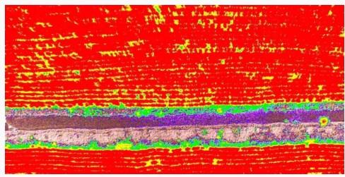
View Both RGB and NDVI Feeds
Simply having aerial imagery is not enough for ag professionals who want to know more. Switch between a preliminary Normalized Difference Vegetation Index (NDVI) analysis and the live RGB feed to immediately visualize where attention is needed, so targeted treatment decisions can be made quickly.
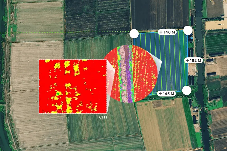
Centimeter-level Precision
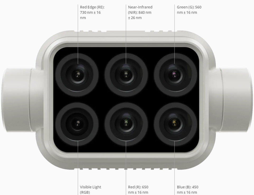
Get real-time, accurate positioning data on images captured by all six cameras with DJI’s TimeSync system, providing centimeter-level accurate measurements. The TimeSync system continually aligns the flight controller, RGB and NB cameras, and RTK module, fixing the positioning data to the center of the CMOS and ensuring each photo uses the most accurate metadata. All cameras go through a rigorous calibration process where radial and tangential lens distortions are measured. The distortion parameters gathered are saved into each image’s metadata, letting post-processing software adjust uniquely for every user.
The Beginning of Intelligent Agriculture Missions
Plan Flights
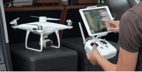
Plan flights, execute automated missions, and manage flight data using GS PRO – DJI’s leading flight planning iOS app.
Capture Data
Collect multispectral images efficiently across a large area using the P4 Multispectral and gain an overview of problem areas.
Analyze Data
Easily access and process aerial data by applying plant-specific metrics and parameters to acquire the desired results on plant health.
Act on Data
Implement targeted treatments on areas that need attention based on accurate drone data.
-
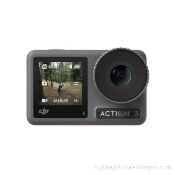
Osmo Action 3 Adventure Combo Full Function action camera for Adventure, Surfing, Biking, Diving, Skiing, All Outdoor Sports
-
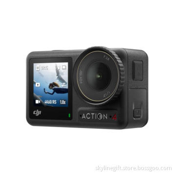
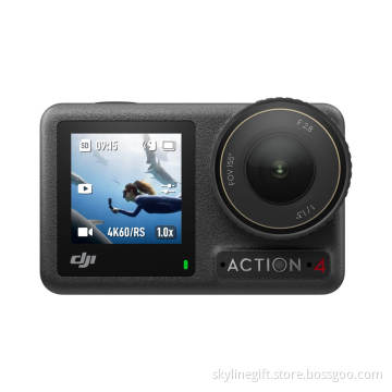
Osmo Action 4 Standard Combo 4K Action Camera 4K/120fps HD Anti Shake Vlog Super-Wide FOV Cold Resistant Long-Lasting New
-
Osmo Action 3 Standard Combo action camera with Cold Resistant & Long-Lasting
-
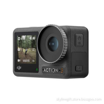
Osmo Action 4 Adventure Combo - 4K/120fps Waterproof Action Camera with a 1/1.3-Inch Sensor 10-bit & D-Log M Color
Related Keywords
-
Osmo Action 3 Adventure Combo Full Function action camera for Adventure, Surfing, Biking, Diving, Skiing, All Outdoor Sports
Osmo Action 4 Standard Combo 4K Action Camera 4K/120fps HD Anti Shake Vlog Super-Wide FOV Cold Resistant Long-Lasting New
Osmo Action 3 Standard Combo action camera with Cold Resistant & Long-Lasting
Osmo Action 4 Adventure Combo - 4K/120fps Waterproof Action Camera with a 1/1.3-Inch Sensor 10-bit & D-Log M Color
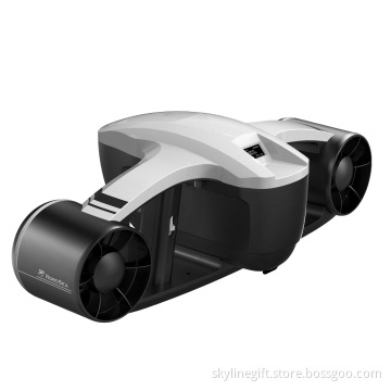
ROBOSEA SEAFLYER Sea Underwater Scooter 45 min 30m Swimming Diving Snorkeling Sports Waterproof Electric Scooter
Related Products-
ROBOSEA SEAFLYER Sea Underwater Scooter 45 min 30m Swimming Diving Snorkeling Sports Waterproof Electric Scooter
-
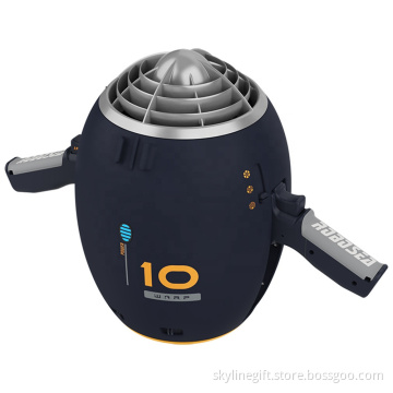
ROBOSEA WARP 10 Sea Underwater Scooter with Camera 65 min 30m Swimming Diving Snorkeling Sports Waterproof Electric Scooter
-
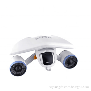
Sublue Whiteshark Tini Underwater Scooter 45 min Sublue Sea Electric Scooter for Kids
-
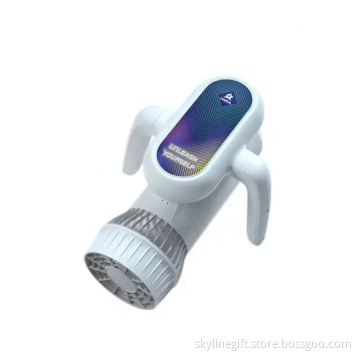
Sublue MixPro Underwater Scooter 60 min 40m Sublue Sea Electric Scooter for Kids
-
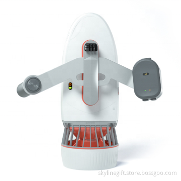
Sublue Hagul EZ Underwater Scooter 50 min 15m Sublue Sea Electric Scooter Kids Waterproof Detection Diving Propeller