


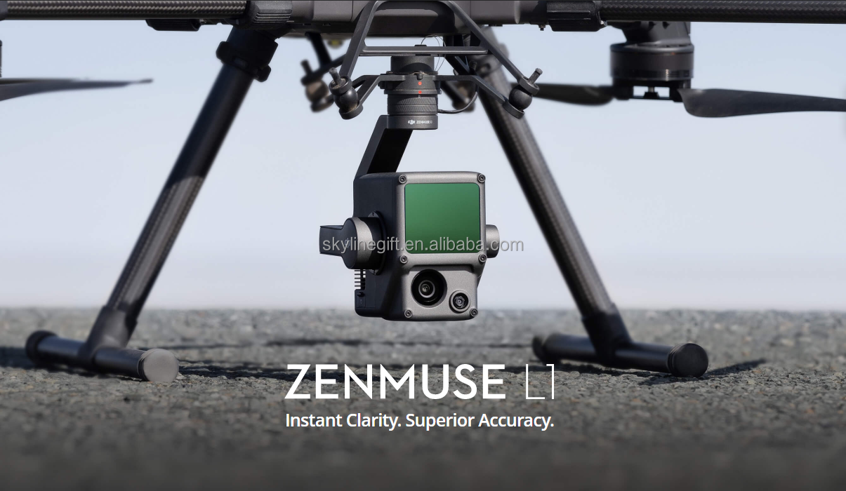
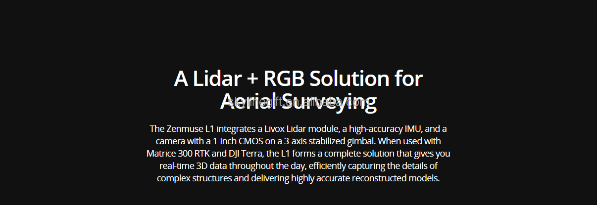
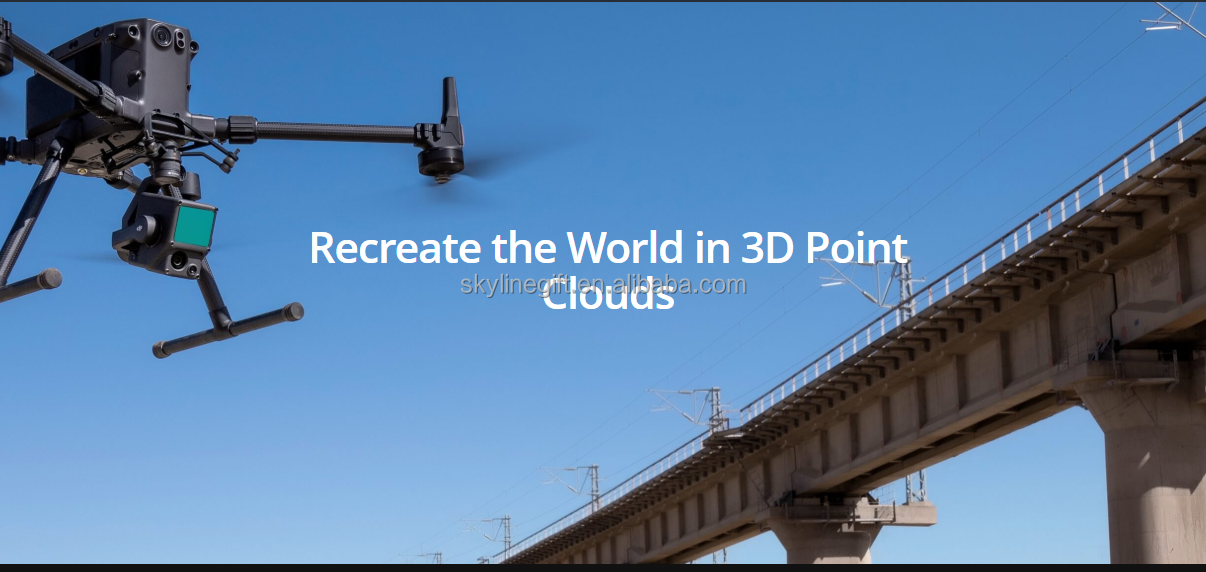
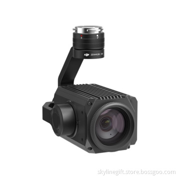
Zenmuse L1 20MP with Lidar module for M300RTK for Emergency Response/ Topographic Mapping /AEC and Surveying
- Min. Order:
- 1 piece
- Min. Order:
- 1 piece
- Port:
- DUBAI
Your message must be between 20 to 2000 characters
Contact Now| Supply Ability: | 10 Piece/Pieces per Month |
|---|---|
| Payment Type: | Western Union,T/T,Alipay |
| Port: | DUBAI |
Zenmuse L1 20MP with Lidar module for M300RTK for Emergency Response/ Topographic Mapping /AEC and Surveying
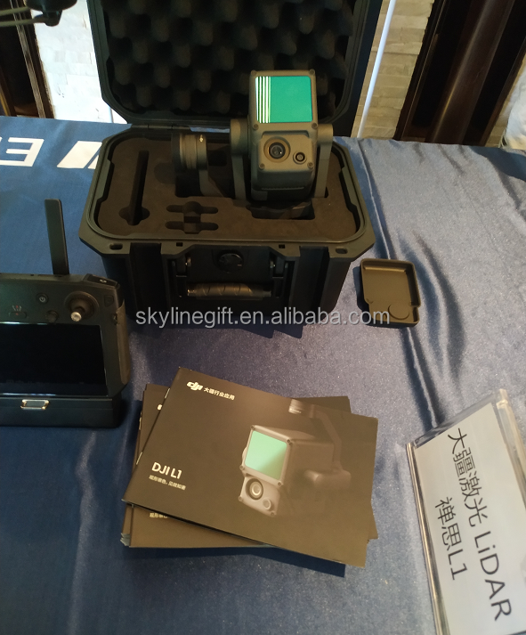
Zenmuse L1 camera*1
General
What is the protection level of the Zenmuse L1?
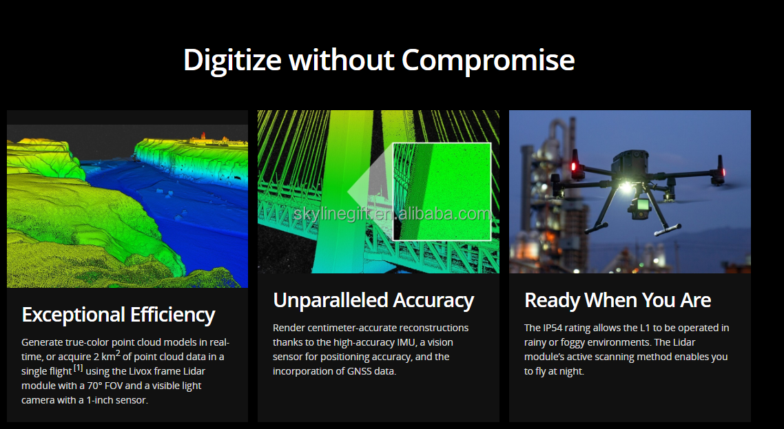
The L1 has an IP54 rating according to the IEC60529 standard. This means that it is protected against solid objects over 1mm in size and against water splashed from all directions. The protection level is not permanent however and will decrease over time due to device wear.
To ensure the highest levels of protection:
• Before installing, make sure that the interface and surface of the gimbal are dry;
• Before use, make sure that the gimbal is firmly installed on the drone and the SD card protective cap is clean, free of foreign objects, and closed;
• Before opening the SD card protective cap, wipe the surface of the drone clean.
What aircraft is the L1 compatible with?
The L1 is compatible with the M300 RTK. Before using, please upgrade the firmware of the drone and remote controller to the latest version.
Which apps are compatible with the L1?
The L1 currently supports only the Android version of the DJI Pilot App.
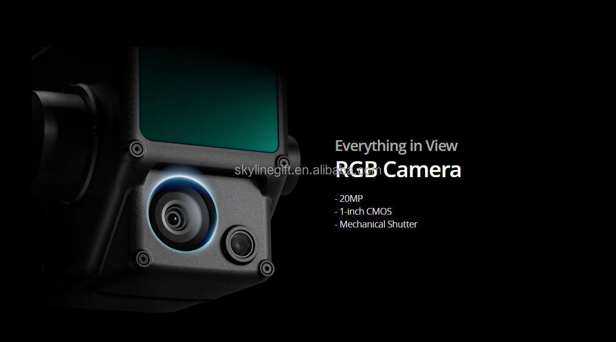
Does the camera require an SD card?
The camera requires a MicroSD card with Class 10 or higher transmission speed or rated UHS-1 , with up to 256 GB supported.
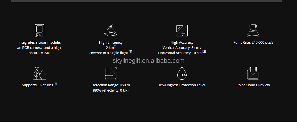
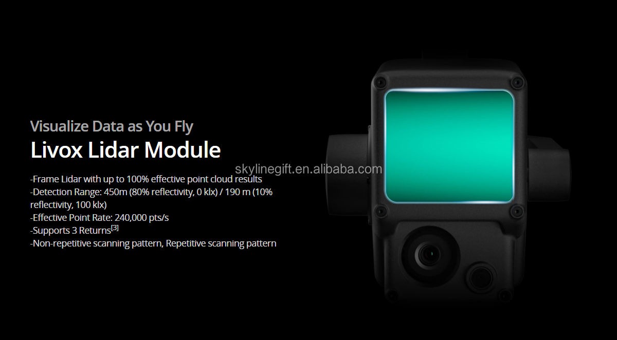
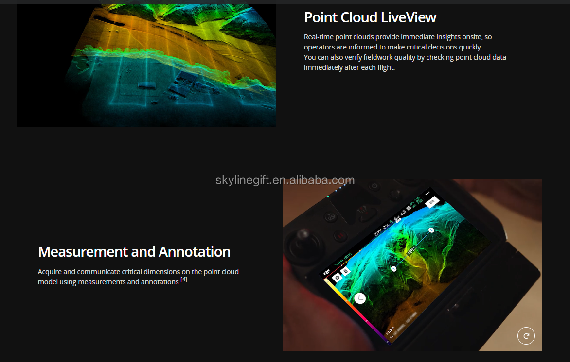
What is the Field of View (FOV) of the L1's Lidar?
In Non-repetitive Scanning mode, the FOV is 70.4°x77.2°.
In Repetitive Scanning mode, the FOV is 70.4°x4.5°.
What is the maximum measuring range of the L1?
The maximum measuring range of the L1 is 190m@10%, 100klx ; 450m@80%, 0klx.
The recommended typical working height is 50m-120m.
What is the scanning frequency of the L1?
The L1 provides three scanning frequencies: one/two returns: 80K/s, 160K/s, and 240K/s; three returns: 80K/s, 240K/s.
Contact:

-
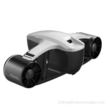
ROBOSEA SEAFLYER Sea Underwater Scooter 45 min 30m Swimming Diving Snorkeling Sports Waterproof Electric Scooter
-
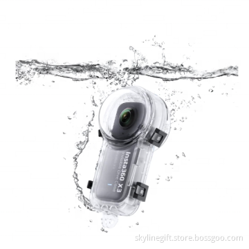
Original Insta360 X3 Invisible Dive Case Sports Action Camera Accessories
-
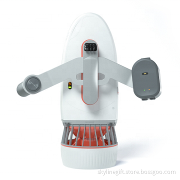
Sublue Whiteshark Tini Underwater Scooter 45 min Sublue Sea Electric Scooter for Kids
-
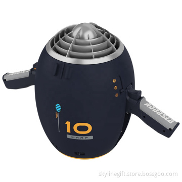
ROBOSEA WARP 10 Sea Underwater Scooter with Camera 65 min 30m Swimming Diving Snorkeling Sports Waterproof Electric Scooter
Related Keywords
-
ROBOSEA SEAFLYER Sea Underwater Scooter 45 min 30m Swimming Diving Snorkeling Sports Waterproof Electric Scooter
Original Insta360 X3 Invisible Dive Case Sports Action Camera Accessories
Sublue Whiteshark Tini Underwater Scooter 45 min Sublue Sea Electric Scooter for Kids
ROBOSEA WARP 10 Sea Underwater Scooter with Camera 65 min 30m Swimming Diving Snorkeling Sports Waterproof Electric Scooter
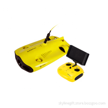
Chasing GLADIUS MINI Rc 2h 100m Underwater Drones with 4k Camera and GPS Fishing Drone Waterproof Detection 5 Scooter
Related Products-
Wltoys X1 Drone XK X1S Camera 5G Wifi FPV 2-Axis Self-stabilizing Gimbal Brushless Motor 22 Mins Flight Time Quadcopter VS X3
-
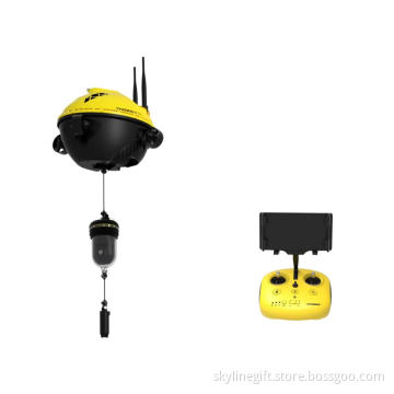
Chasing F1 Pro Underwater ROV Drone with 4K Camera 256G GPS Fish Finder 4 Axis Propeller Removable Battery Diving Equipment
-
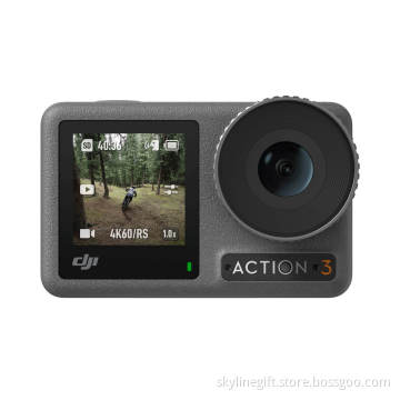
DJI Osmo Action 3 Standard Combo action camera with Cold Resistant Long-Lasting Super-Wide FOV Waterproof Video sport 4K Camera
-
DJI Zenmuse Z30 Powerful Gimbal Camera 556g 30X Optical Zoom Lens for Matrice Series Drone Matrice 600 Industrial Inspection
-
Zenmuse H20N Series gimbal camera H20& H20T camera Thermal 30Hz 640x512 px Visual Zoom for Matrice 300RTK drone