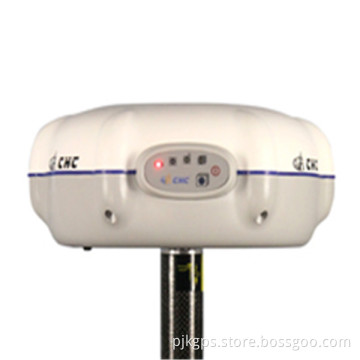

Surveying GPS Gnss Rtk System Trimble R4 Rtk Gnss Rtk
- Payment Type:
- L/C, T/T, Paypal, Money Gram, Western Union
Quantity:
Your message must be between 20 to 2000 characters
Contact NowBasic Info
Basic Info
| Place of Origin: | USA. |
|---|---|
| Payment Type: | L/C, T/T, Paypal, Money Gram, Western Union |
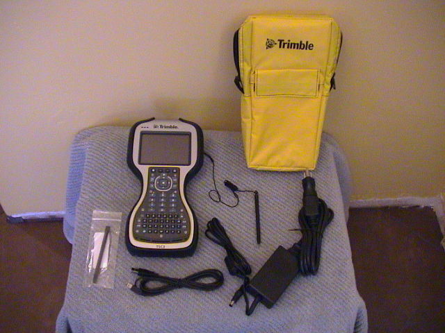
Product Description
Product Description
surveying gps gnss rtk system trimble R4 rtk gnss rtk

A New Level of Productivity
The first of its kind, the new Trimble?R10 System is designed to help surveying professionals work more effectively. With powerful new technologies like Trimble HD GNSS, Trimble SurePoint™, and Trimble xFill™ integratedinto a new sleek design, this powerful system goes beyond comprehensive GNSS support
to ensure surveyors have the ability to collect more accurate data faster and easier— no matter what the job or the environment.
Trimble HD-GNSS Processing Engine
A new generation of core positioning technology Integrated into the Trimble R10 is the advanced Trimble HD-GNSS processing engine. This ground breaking technology transcends
traditional fixed/float techniques to provide a more accurate assessment of
error estimates than traditional GNSS technology, especially in challenging environments.
Markedly reduced convergence times as well as high position and precision reliability
enable surveyors to collect measurements with confidence while reducing their occupation
time.
Trimble SurePoint Technology
Simplifying the survey workflow Trimble SurePoint technology incorporated into the Trimble
R10 system provides users with faster measurements, increased accuracy, and greater
quality control.
An Electronic Bubble
The Trimble R10 system employs an electronic bubble that appears on the Trimble controller display. With this new eBubble, all measurement information is displayed in one place
and users don't have to switch focus from the controller screen to the pole bubble to check that
the pole is plumb.
Rapid, Accurate Measurement
Trimble SurePoint technology displays the eBubble in green when the pole is plumb, clearly indicating that an accurate measurement is possible. The system constantly monitors pole
tilt for the user. If a point is measured with pole tilt beyond a user-defined setting,
Trimble Access™ software will alert the user and prompt them to accept or
discard the point. SurePoint even uses the pole tilt as a controlling input. After a point is measured, tilting the pole causes the system to automatically prepare to measure the next
point.

Related Keywords
Related Keywords